Wednesday, October 26, 2011

Coney Island to Dumbo

Rich suggested a Coney Island to Dumbo paddle a couple of weeks ago, and it sounded pretty good to me.  We planned for an early morning departure to ride the tide in through the narrows and up the harbor - the date, Sunday October 16.  The weather didn't co-operate - gale warnings were posted, west wind 25-30 knots.  We rescheduled.  So, On Tuesday the 18th, I went down in to the Subway at 6:45AM with my inflatable board on my back, to meet Rich in Brooklyn Heights for the drive out to Coney Island.  High tide at The Battery was 12:30PM - we hoped to pull into Dumbo right about then, with the tide easing us through the harbor.


Waiting for The A train, Columbus Circle, 7:00AM October 18 2011

It was raining lightly when Rich pulled up in his SUV, but the forecast was for a warm and mostly sunny day, so we were not put off.  

The pick-up in downtown Brooklyn

A quick drive out the Belt Parkway, our inbound water route visible just to our West, and we were at Kaiser Park on the North side of Coney Island, with a low tide sandy beach for a put-in.  It takes 7-10 minutes to get my board together and inflated, so we hit the water at 8:30AM in cloud cover, light rain, but with some sunlight behind us to the south, and the promise of good weather to come. 

Rich sets out from the beach, Kaiser Park Coney Island

Looking back toward the launch site

 The promise of sun, looking south

Looking back, half way to The Narrows


The paddle from Coney Island to The Narrows was very slightly against an incoming tide for the first half (filling the bay tucked behind Coney Island), and then with a gentle tide as we approached the bridge.  The bridge is enormous - very beautiful passing beneath it.  


Then down the Bay Ridge shoreline, and a first glimpse of the Statue of Liberty emerging from around the corner, followed shortly after by the Manhattan skyline, and the day became sunny and warm.


The paddle through the harbor was easy, with very gentle current, almost no wind, some boat traffic (wake), and spectacular views.  


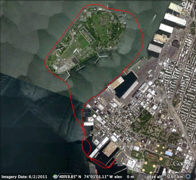
We made good time without paddling too hard, and entered the Governors Island / Brooklyn channel by 11:15AM or so.  Here the current was no longer gentle - it was a full flood tide that we rode up the channel.  The current seemed increasingly like a river, and then at the end of that channel, as we met the water flowing around the north end of Governors Island, there was a tidal maelstrom.  


 The wicked current


The currently slowed slightly, and then picked up as we entered the East River.  Yes, it's not a river, really, but it was flowing like one.  I have few photos of the Brooklyn Bridge, because we were fully concentrating on staying on the boards, avoiding the ferries, planning out landing approach.  As we approached the Manhattan Bridge, and our take-out at it's foot, the tide was throwing up standing waves over the shoreline shoals, and for the first time in many paddles, I had to get on my knees to avoid being dumped - a quick look back at a laughing Rich, also down on his board.  80 feet of paddling on our knees and we were in the shallow bay, back on our feet, and approaching the rocky beach in Brooklyn Bridge Park.  Crazy finish - gentle current for 90% of the trip, and then a wild ride.


181 minutes, 10.7 miles.  
Peak speed, 10.7 miles per hour 
(if doppler is correct - that seems very fast, but the current was indeed very fast)

Wednesday, October 5, 2011

My first paddle in New York Harbor

Got the call from Rich, and even though I had my doubts about the venture, I knew it was something that had to be done.  I have been wanting to get out on the water in New York Harbor for several years, but wasn't going alone - Rich, thanks for the nudge.  

So, what was the plan?  Paddle from Red Hook in Brooklyn out and around Liberty Island and back - Sunday September 25, 2011.

It's not far, nothing like S2S, but it presents some similar problems, and a lot more complexity.  The first and biggest problem, not unfamiliar to a Fire-Islander, is the tide.  Sure, Great South Bay has major tide rip, but it doesn't compare to the dump form the East River, and likely not even the Hudson.  Figuring out NYC tides is not-so-simple, and will take some experience on the water, but even absent that experience I knew our timing was going to mean we would be paddling across a full ebb tide.  I wasn't sure how it would go, but that's part of the adventure.

So, what do you think it's like taking the subway to a session on a board?  NYC surfers have been doing it for years, so it's not a first, but a first for me.  It is oddly exciting - a brain teaser - an out-of-the-box experience.  Off the A Train in at Jay St., up to the stairs, and here comes an SUV with three boards on the roof in downtown Brooklyn.  It's Rich and Alex Paterson , who have both been on boards in the East River and NY Harbor a few times - I'm the neophyte.  One stop for coffee at a local shop in Red Hook, and then straight to Ikea, which is a great store, but it was the parking lot we were after - it's on the Erie Basin (look up it's history).  In back of Ikea there's a renovated industrial pier that's been made nice for pedestrians, but over the rail it still has a set of concrete stairs down into the water.  That's the launch.

Erie Basin, with the yellow pin marking our entry spot

Rich had the perfect board - an 11'4" ACS Bic that you cold drop on the concrete and it would bounce.  Once in the water, Alex's Jimmy Lewis 12' (ish, don't know the actual spec) was the king - MUCH more glide that Rich's board, or the one I was on, which was the Saltaire lifeguard 10.5' surfing SUP board, holes-and-all.  Yikes, a good board for the surf, but maybe not the one when you REALLY don't want to wind up in the water.  Note to self:  bring my inflatable into the city from the beach.

Just stepping onto the board in the harbor water was a mind-bender.  I've been around the water in the city for all of my life, but I've never been in it, or as close to in it.  But then a few strokes, the board glides - the feeling is familiar - and I'm at home, it's ok.., no, it's great.  I follow Rich and Alex out of the mouth of the Erie Basin, and it's immediately obvious that Liberty Island won't work - the tide is ripping, and we're still in a relatively sheltered spot.  We quickly change our plan - let's go around Governor's Island - but even that seems stretch.  We work our way up the Brooklyn waterfront, not too hard, but then we reach the channel between Governor's Island and Brooklyn, and the current is very strong.  

 
Rich and Alex on the Brooklyn waterfront

The next 70 minute are a very hard and continuous battle against the tide, trying to reach the relative shelter of the north end of Governor's.  Along the way we pass large container ships loading alongside us, and coast guard cruisers that happily treat us as as if we are normal harbor activity (we each have PFDs).  Then it is a few minutes of calm with an incredible view of Manhattan.

Rich and Alex, calm water, awesome view
Jamie and Alex, my board looking like it wants to sink

And then we paddled west into the crazy maelstrom of tide rip dumping from the East and Hudson Rivers.  There were actually some standing waves  just from the rip - and I almost went in passing through them.  It was a very quick trip south down the west shore of Governor's Island, and then a hard turn to the East, across the channel and back into the Erie Basin.

The difficult paddle on the west side of Governor's Island - much rougher than it looks

Th numbers are not impressive.  125 minutes, 4.84 miles.  Consider, though, that the miles we paddled though the water were many more.  Anyway, great trip, will definitely do Liberty Island one day, but the tide has to be just right to make it work.

Our track
Back in the Ikea parking lot

Also, have to say that in the future I will use a lanyard for my camera.  When it has to come out of the pocket, I simply don't take enough photos (and Rich took it out of my hands - so for a change there are lots of pictures of me from this trip - not vanity, just circumstance).

Sunday, October 2, 2011

S2S 2011

The second annual S2S paddle took place on Wednesday August 24, 2011.  At 8AM a group set out from the Broadway Beach.
Jamie, Tyson, Danny, Lynn, Gary, Eve
Tyson gets some extra credit here.  While those of us on-island had out coffee and strolled down to the beach, he rode his bicycle all-out from Babylon to Bayshore to catch the 7AM ferry - and on only a few hours of sleep.

When we all reached the lighthouse on the ocean side, Lynn and Eve bid farewell, and headed back to Saltaire.


Danny, Tyson, & Gary at Democrat Point.


We had hoped to find a full flood tide to carry us in the inlet and home, but the water was totally slack until we reached the bridge.


Coming home.  Total time, 370 minutes; total distance, 14.25 miles.


The GPS track.


In 2010, Tyson and I did the paddle in the opposite direction - bay to ocean.  We rode a full ebb tide out of the inlet (and recorded a peak speed of over 6mph as we did so).  We now know that either direction can work, but each has it's own advantages:  bay to ocean means little traffic on the bay side and perhaps a following wind on the ocean (if it's a typical SW thermal); ocean to bay means little wind in the AM and a following tide to ride home.   

Things to keep in mind for next year:
- date for the paddle must be determined by tide tables (either direction)
- the tide is slack in the inlet for 2.5 hours after low/high
- hydration packs are by far the best solution for fluids

4 of us made it all the way this year - we hope to double that number in 2012.